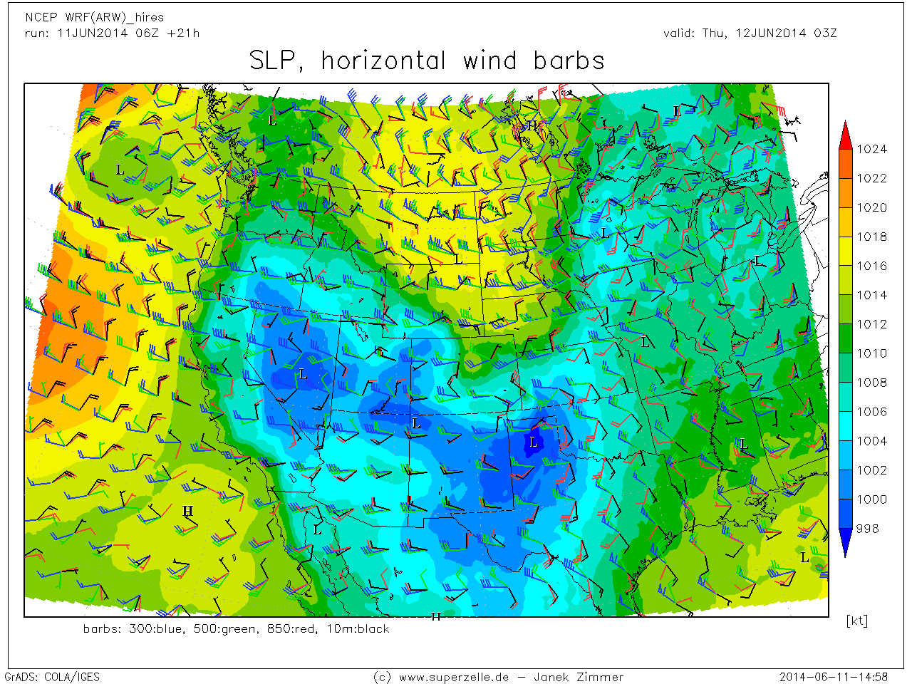
barbs_west.png

baseDBZ_west.png
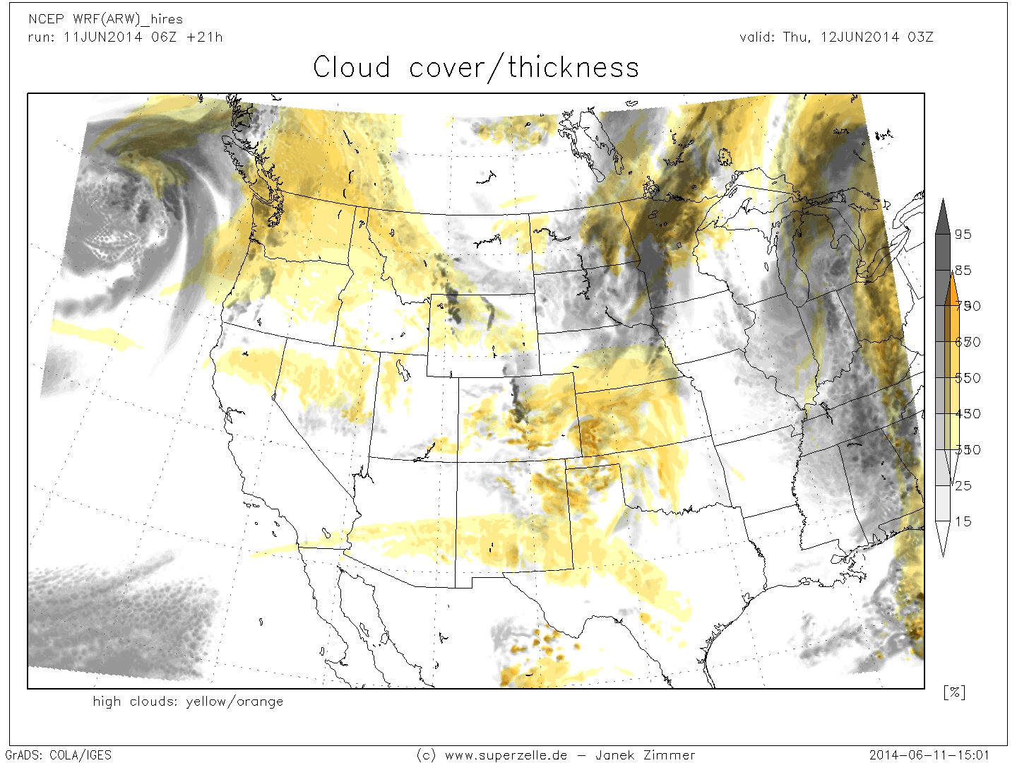
clouds_comp2b.png
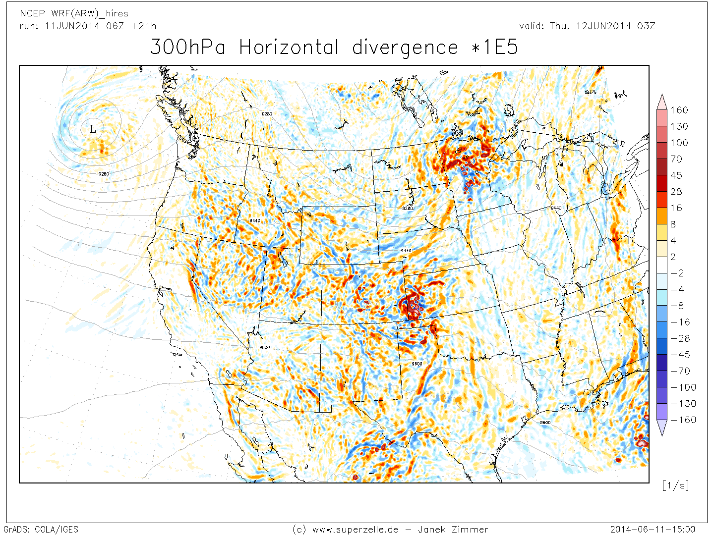
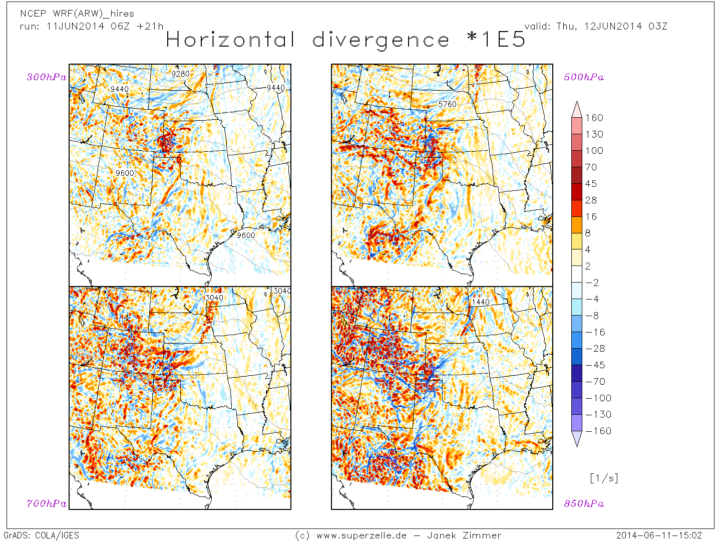
DIV300_west.png
DynComp_west.png
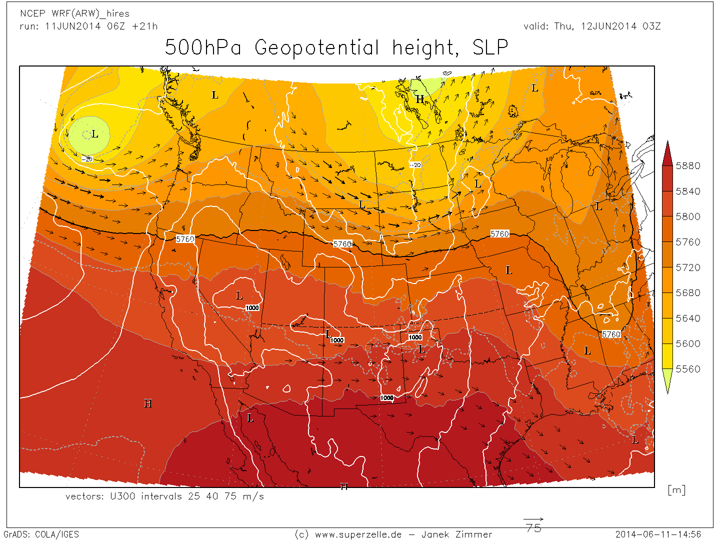
H500_SLP_west.png
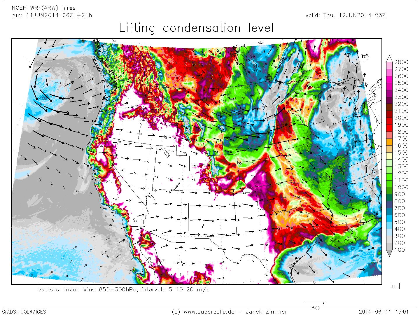
LCL_west.png
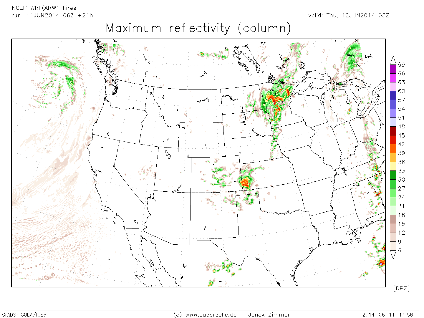
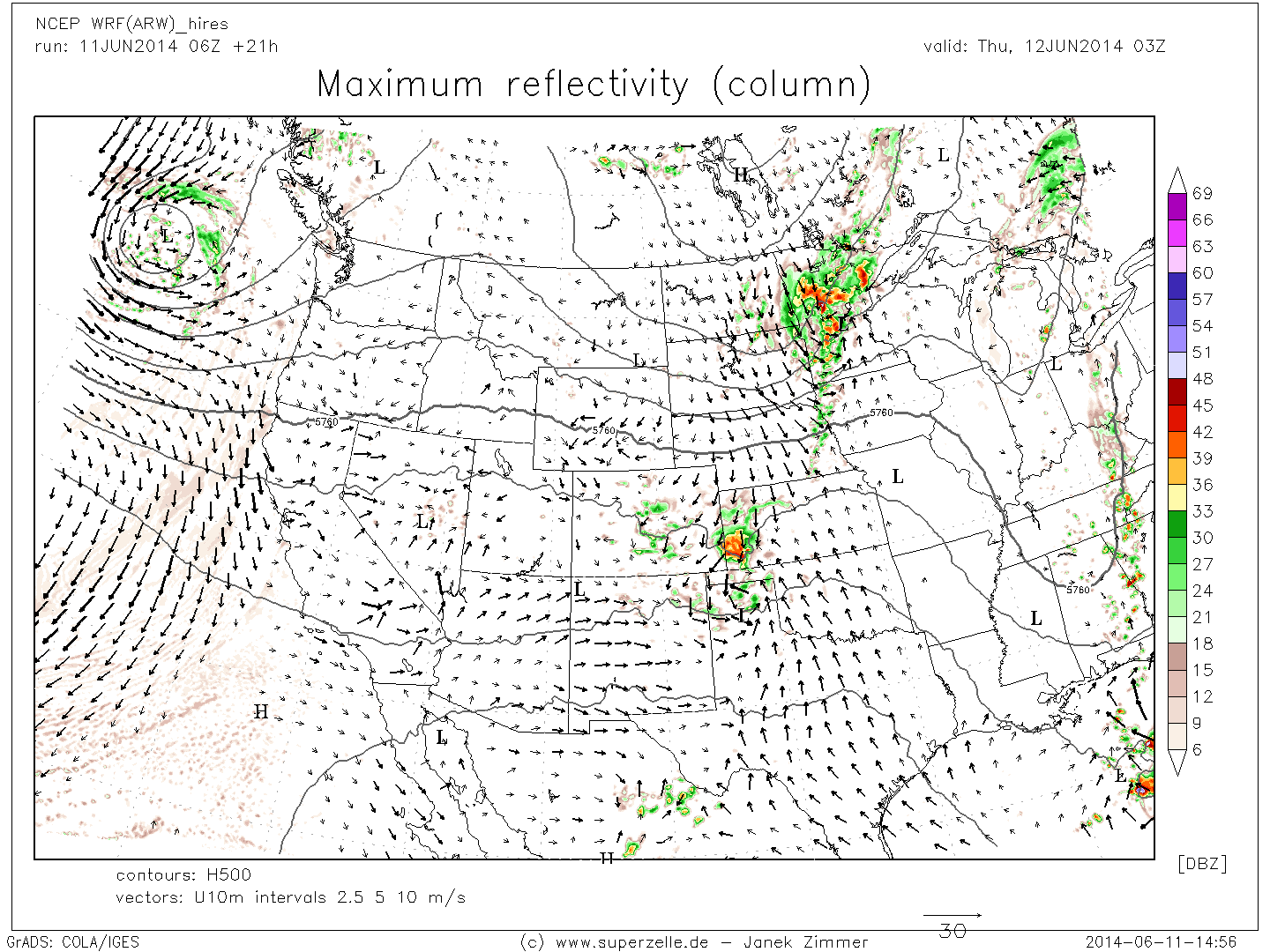
maxDBZ_west.png
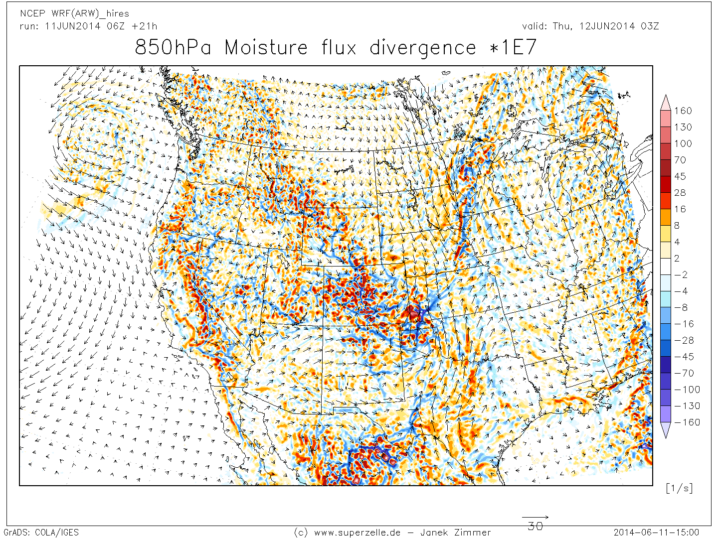
MFDIV850_west.png
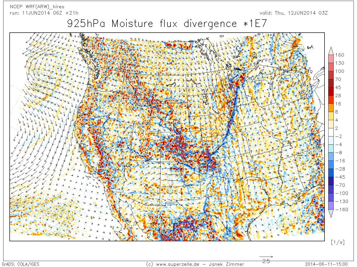
MFDIV925_west.png
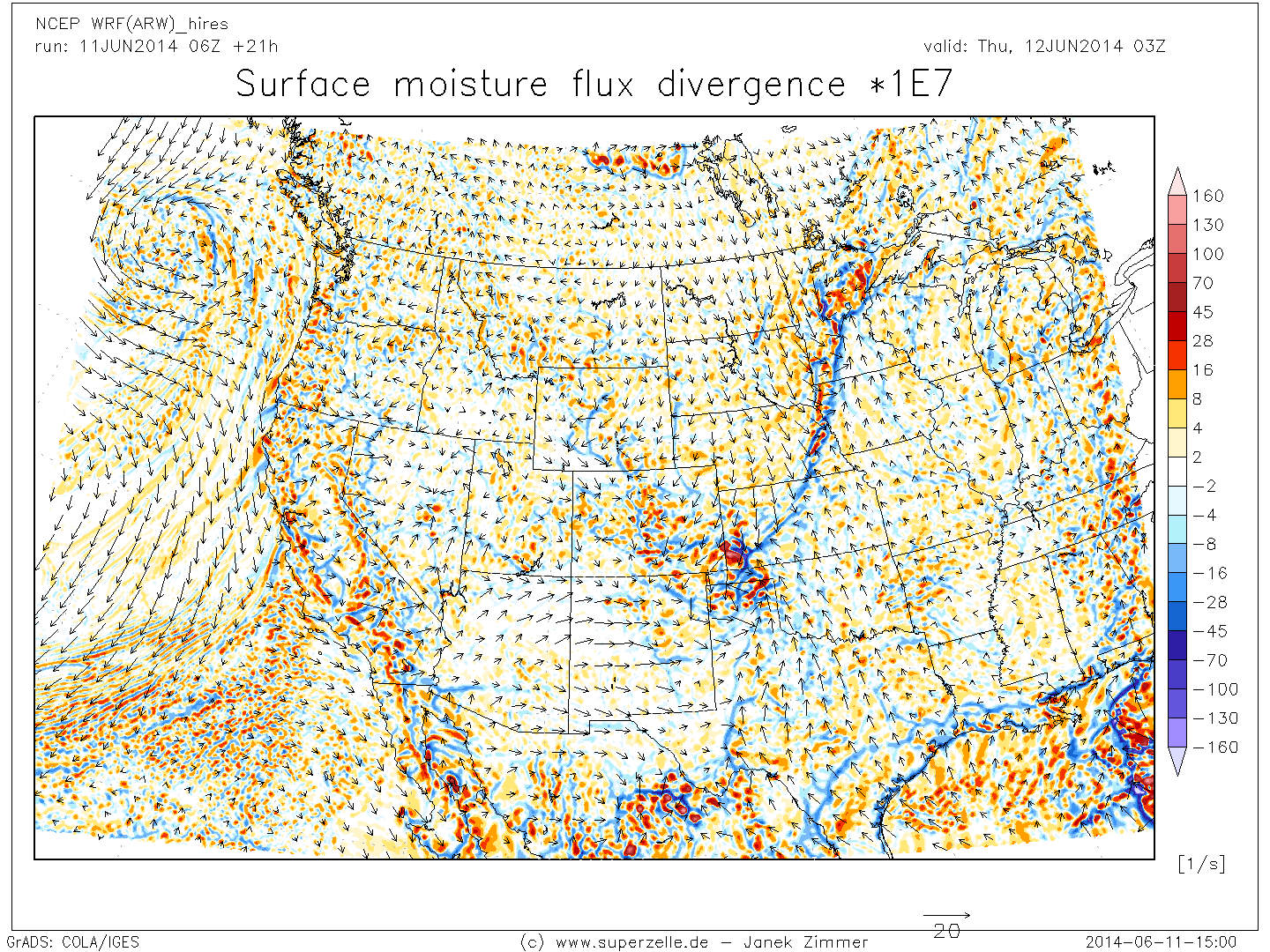
MFDIVsfc_west.png
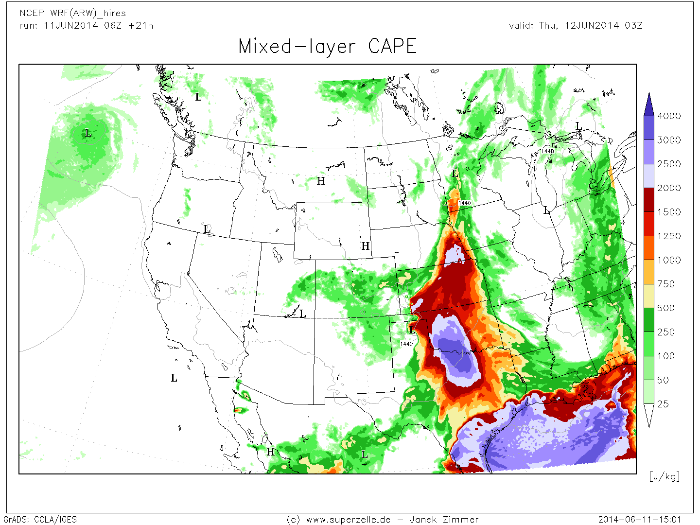
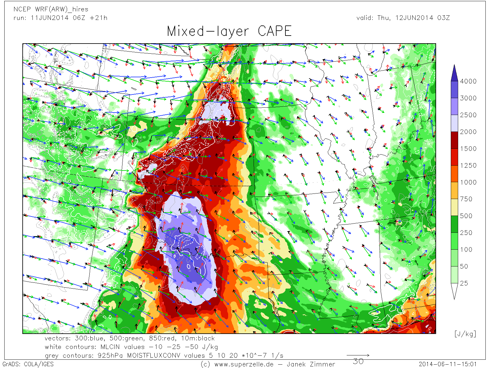
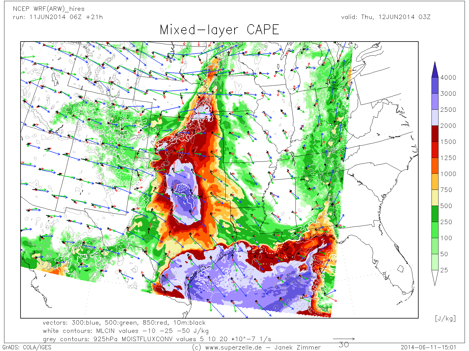
MLCAPE_west.png
panel_DIV_nps_west.png
panel_SPEED_nps_west.png
panel_VORT_nps_west.png
panel_VV_nps_west.png
PPW_west.png
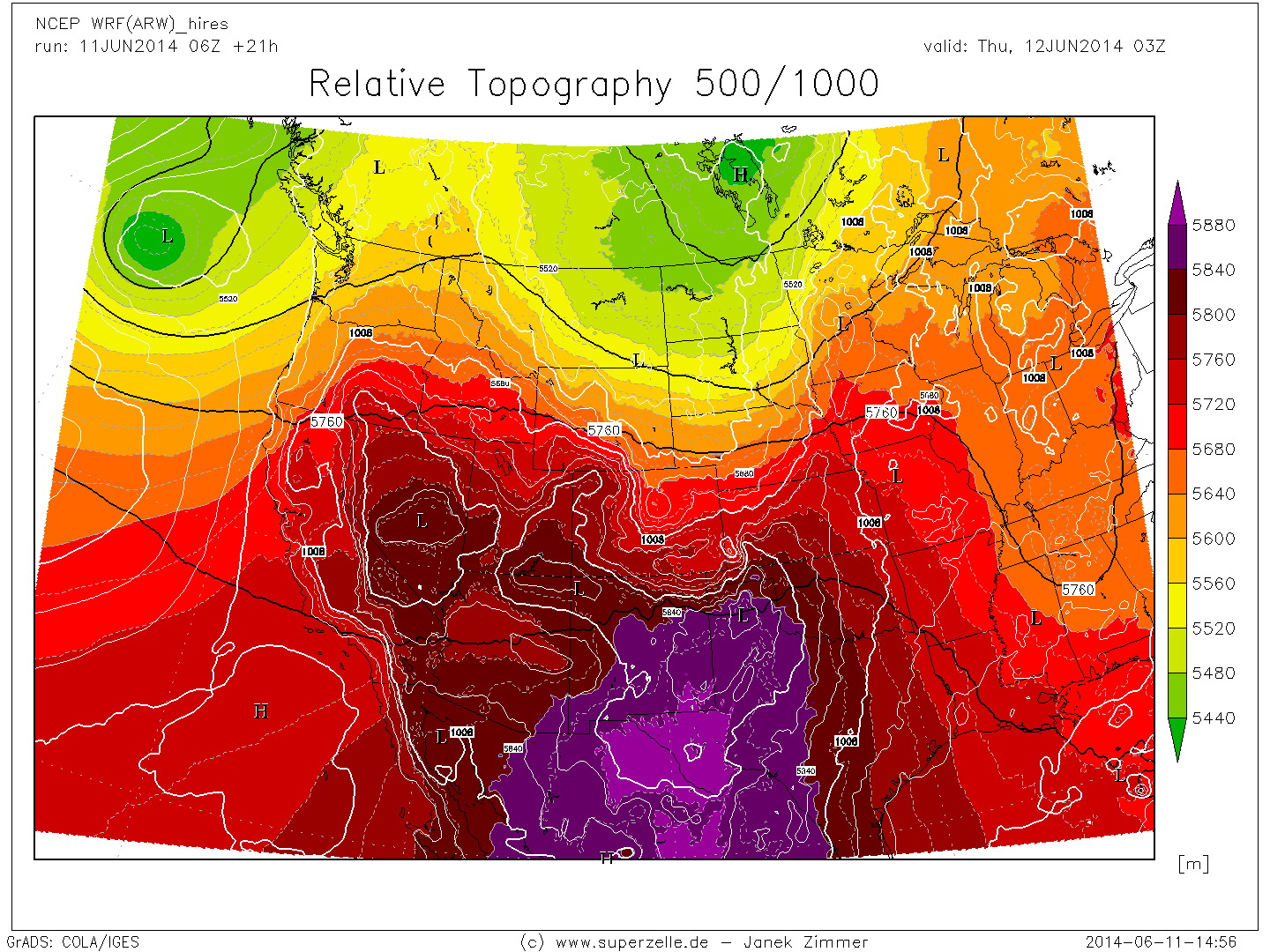
ReTop500_west.png

rh300_west.png
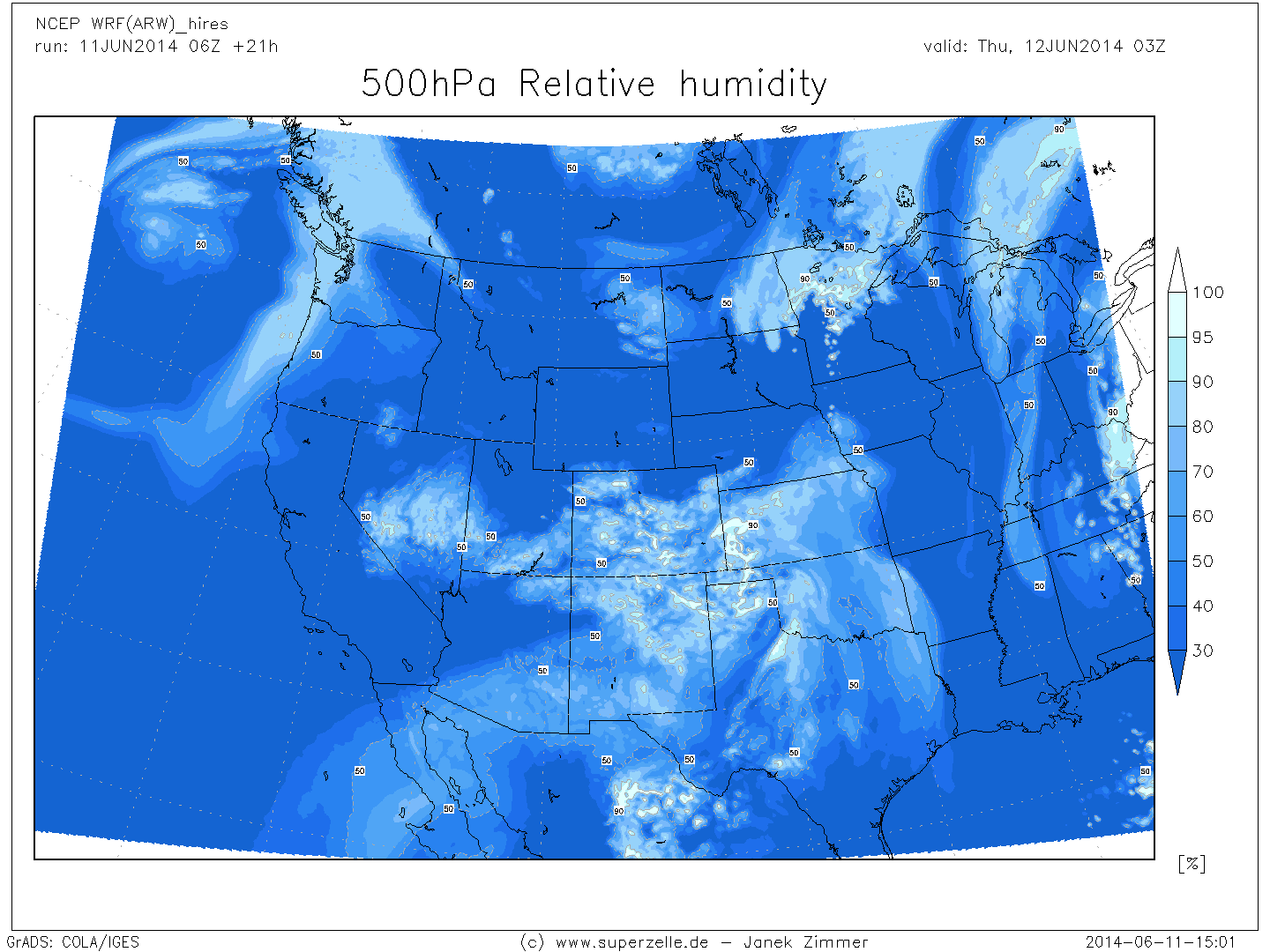
rh500_west.png
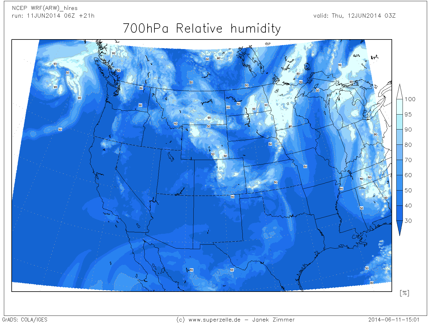
rh700_west.png
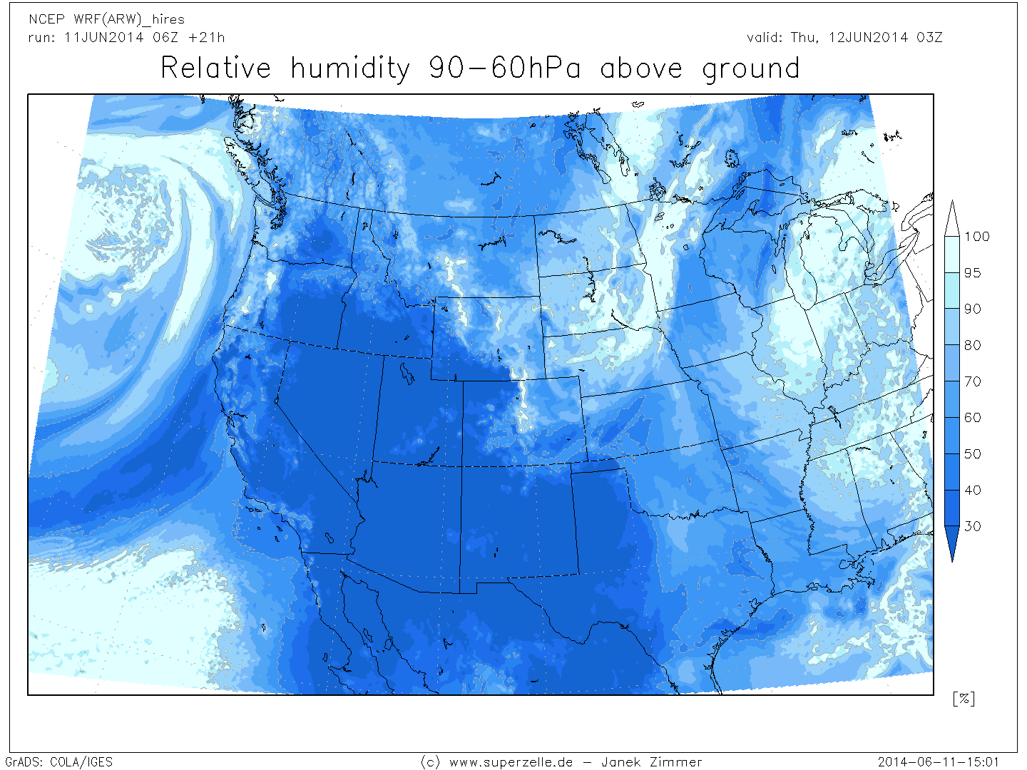
rh925_west.png
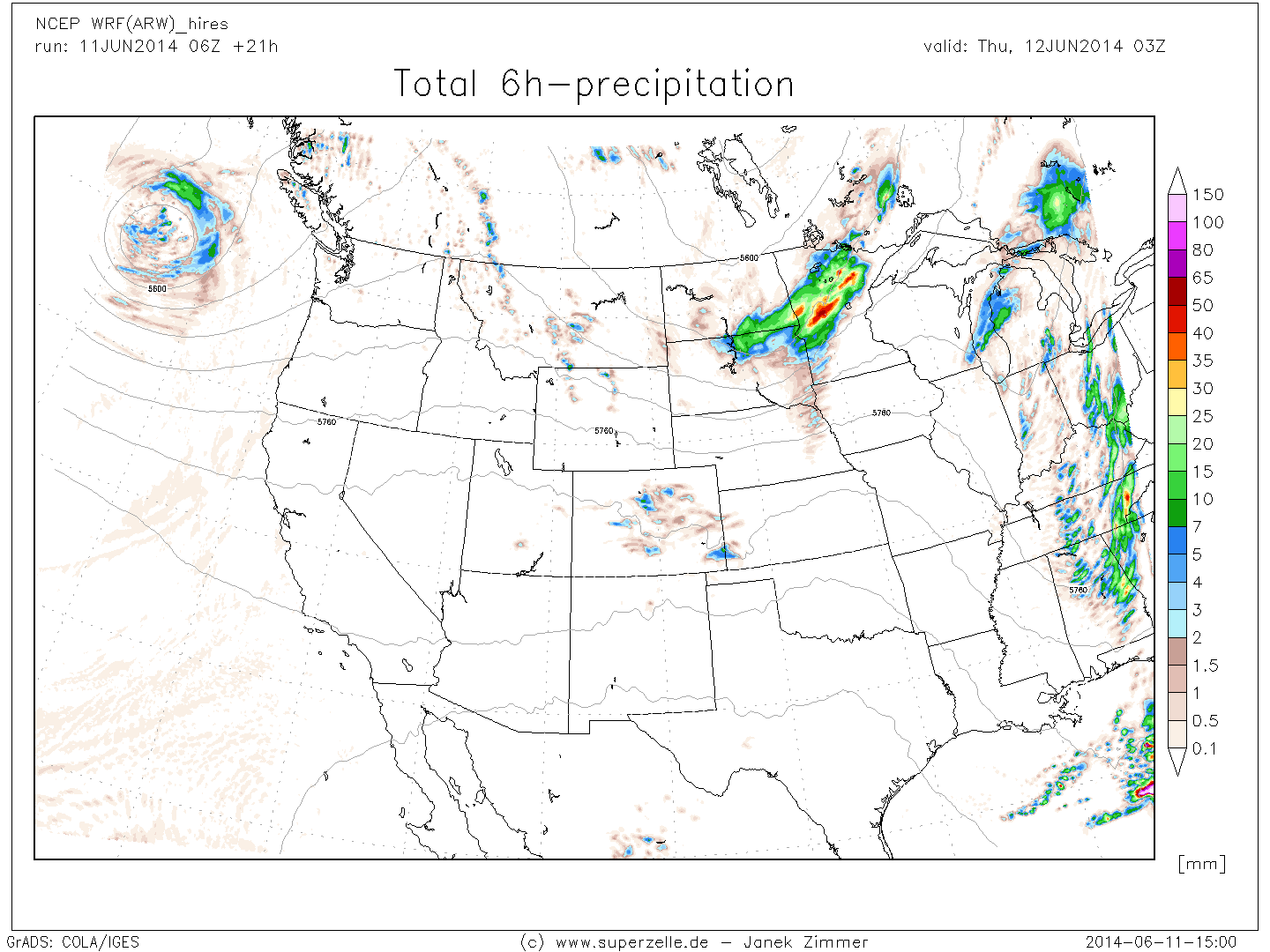
RR6h_west.png
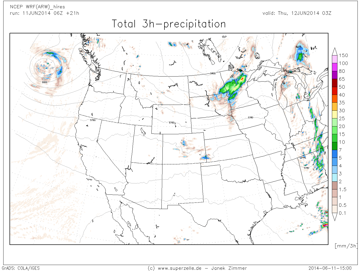
RR_west.png
RRsnow_west.png
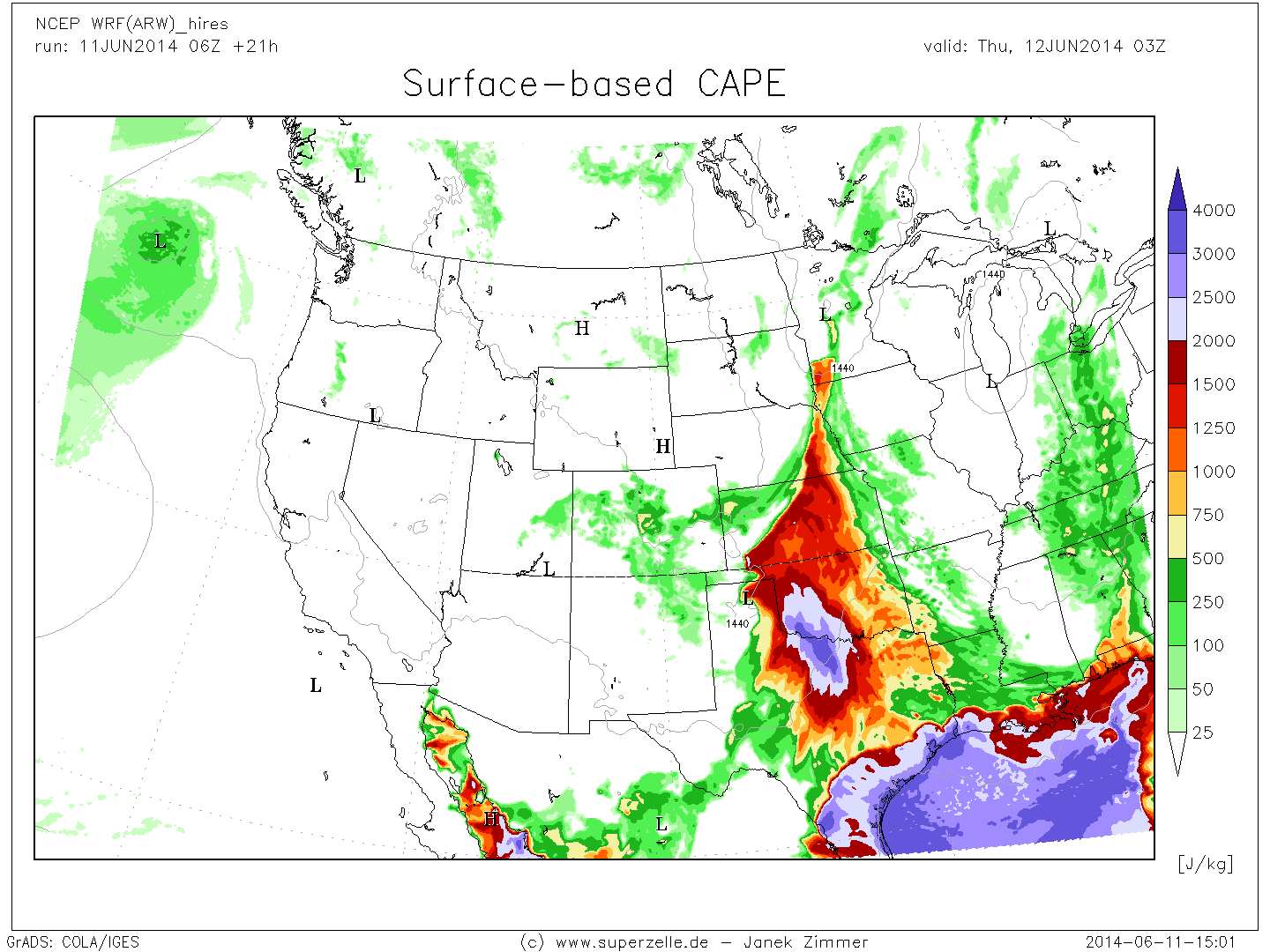
SBCAPE_west.png
severewx_cplains.png
severewx_plains.png
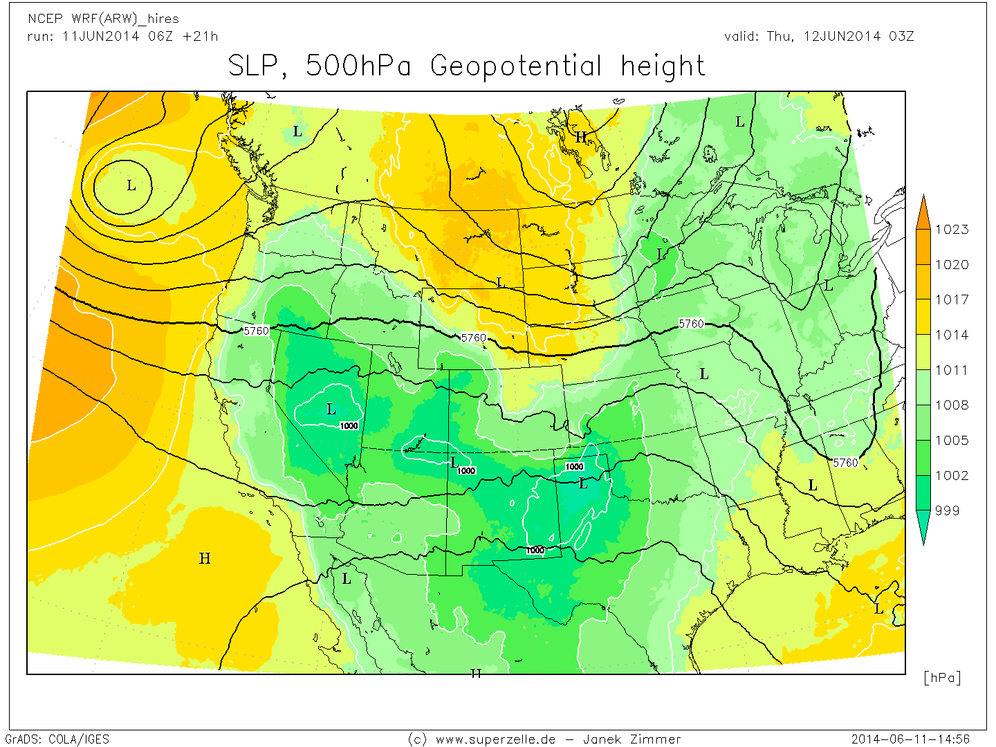
SLP_H500_west.png
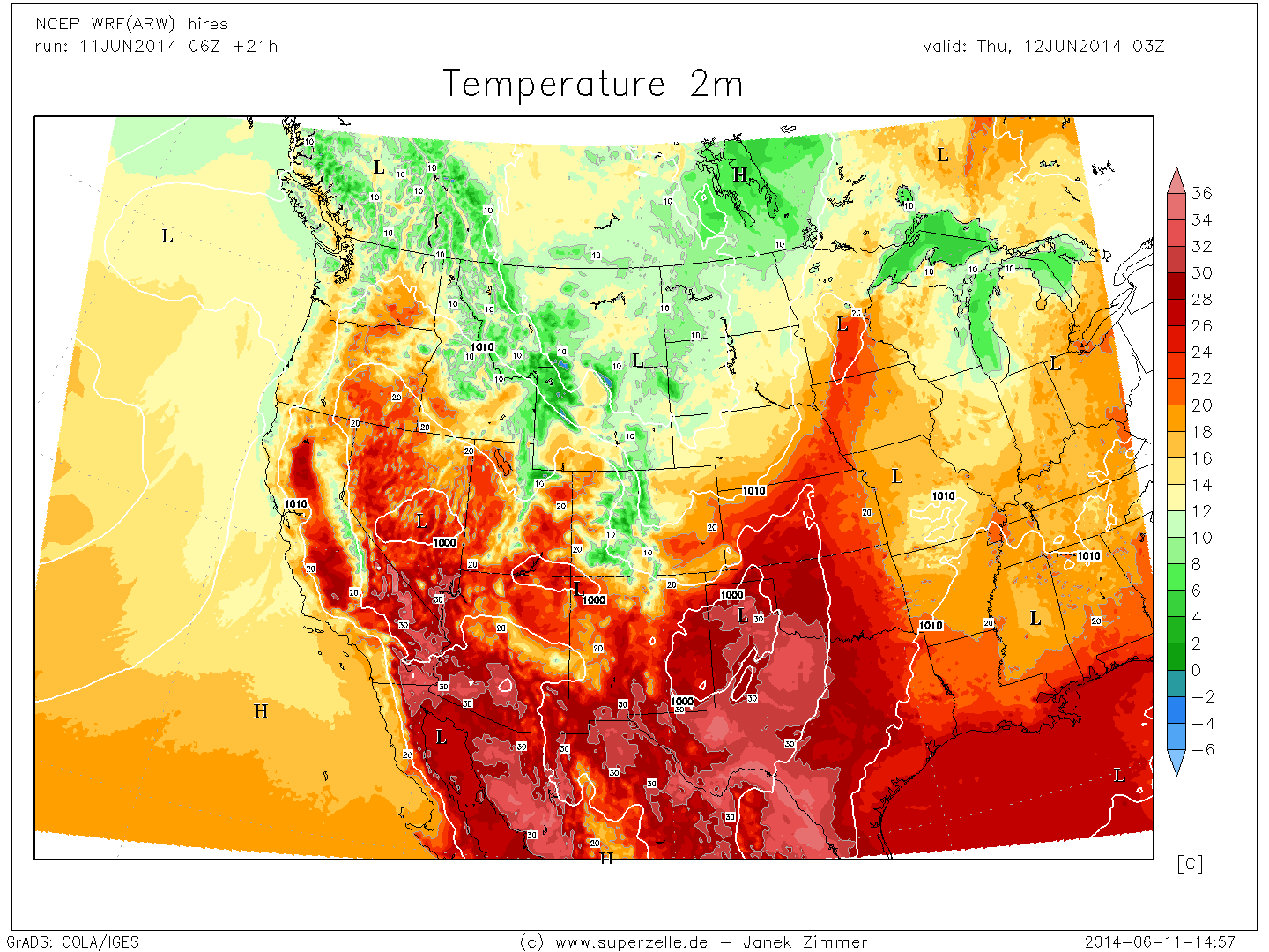
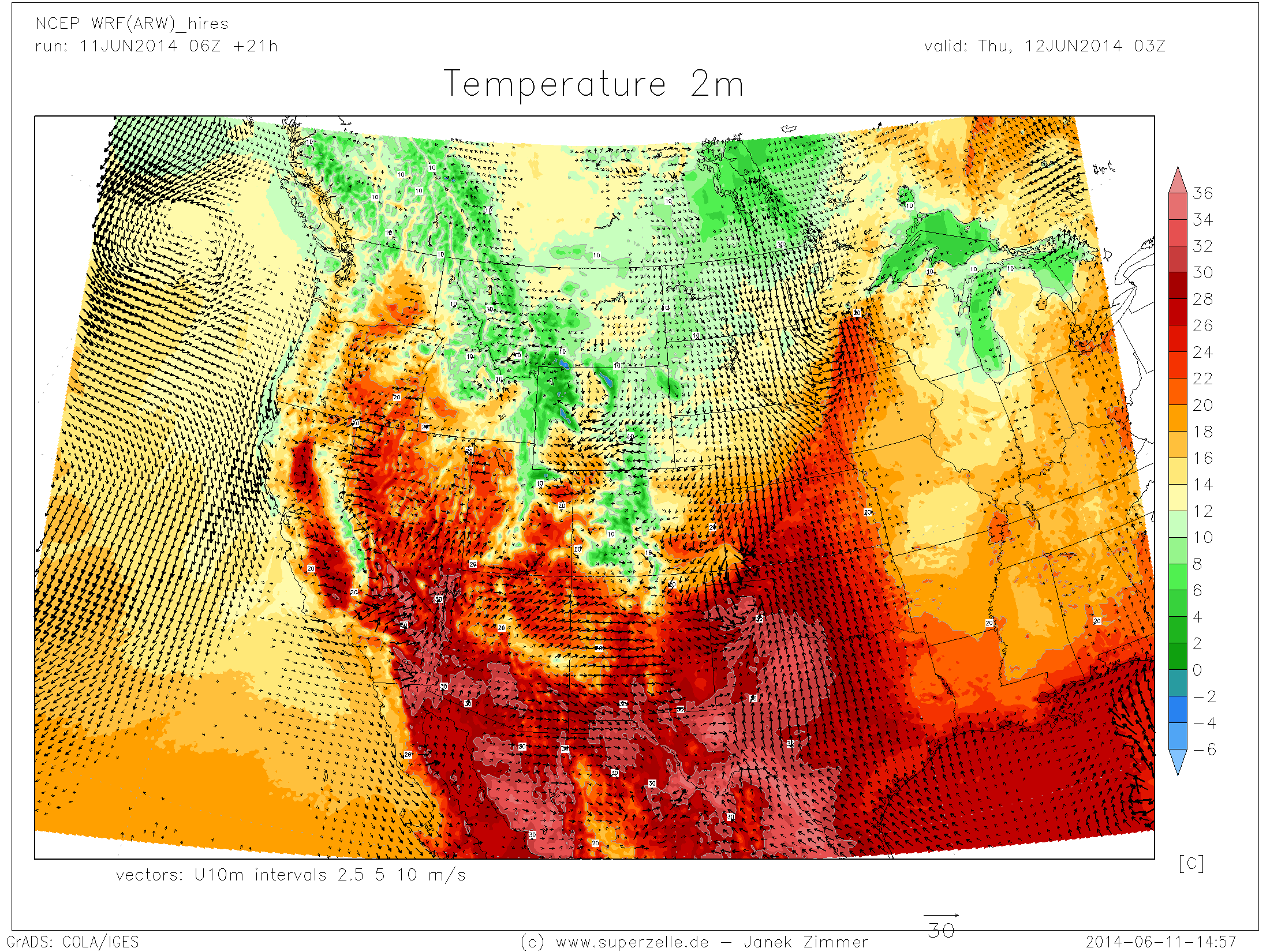
T2m_west.png

T2m_west2.png
T500_west.png
T850_west.png
T850_west_wisc.png
TAE2m_west.png
TAE2m_west2.png
TAE850_west.png

TD2m_west.png
TD850_west.png
TD925_west.png
U10m_west_sfc-cols2.png

U300_west.png
U500_west.png
U700_west.png
U850_west.png
U925_west.png
vectors10m_west.png
vectors_west.png
VORT300_west.png
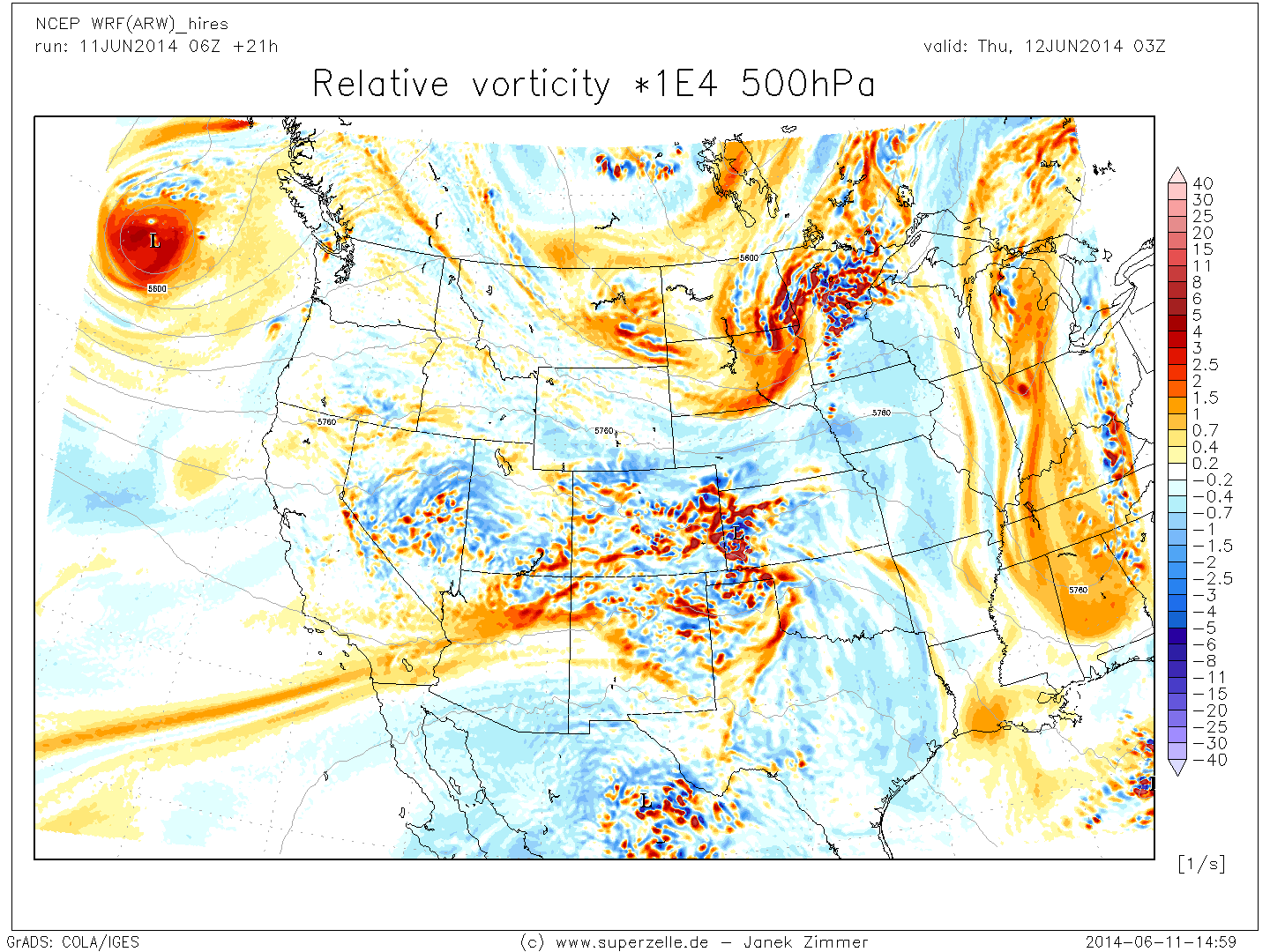
VORT500_west.png
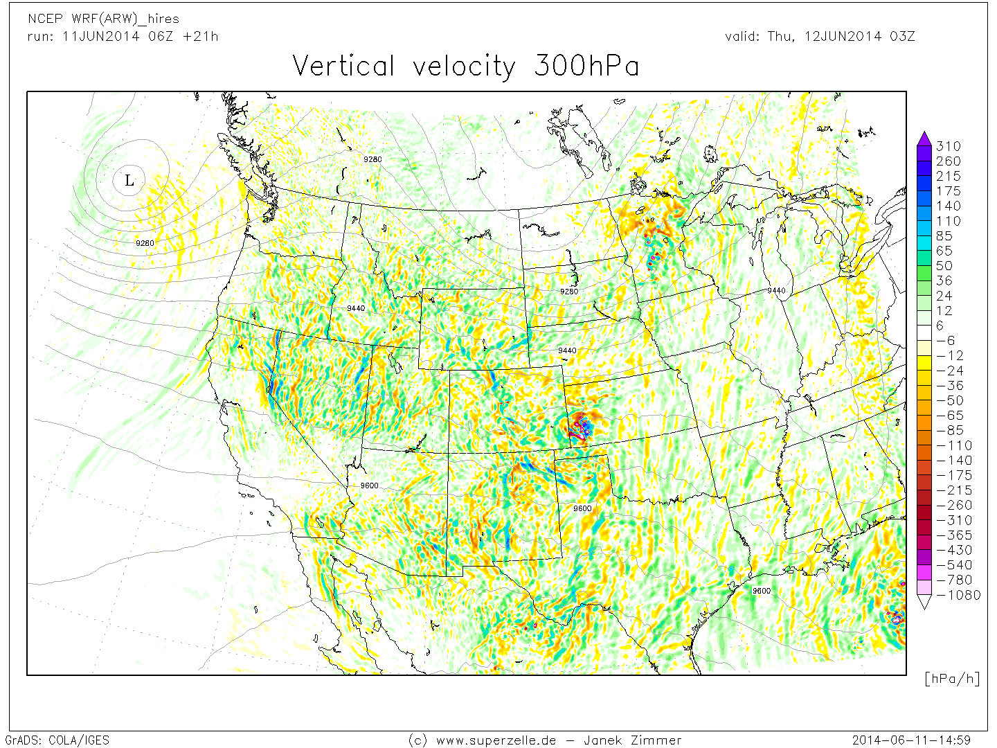
VV300_west.png
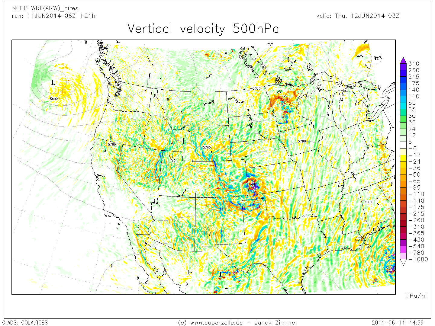
VV500_west.png
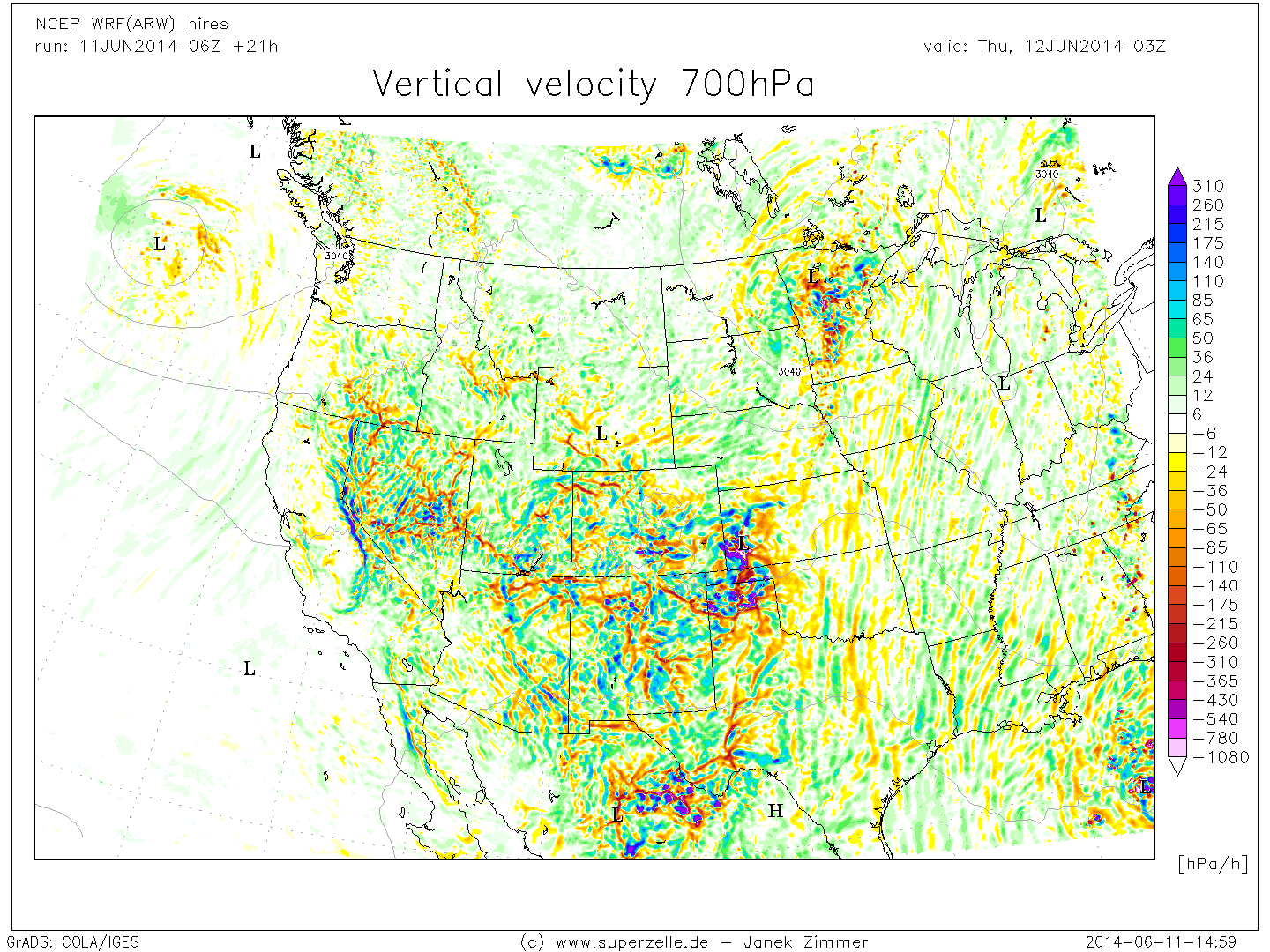
VV700_west.png
VV850_west.png
VV925_west.png
VVisen500_west.png
VVisen700_west.png
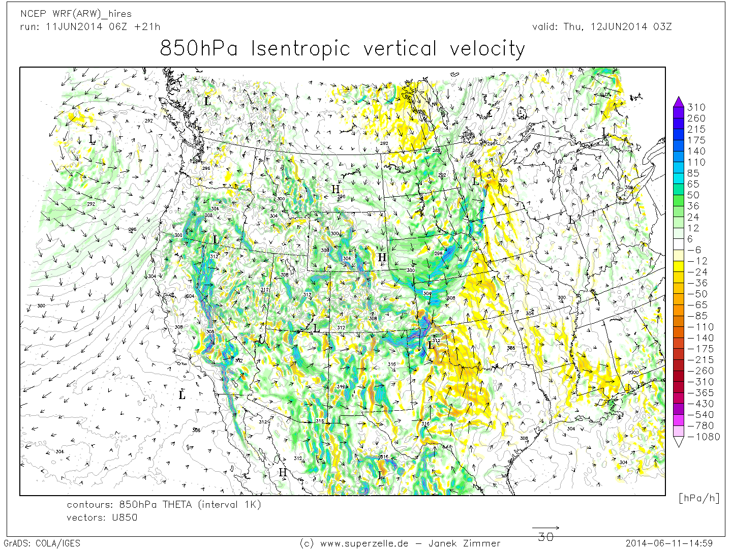
VVisen850_west.png
T2m_west3.png